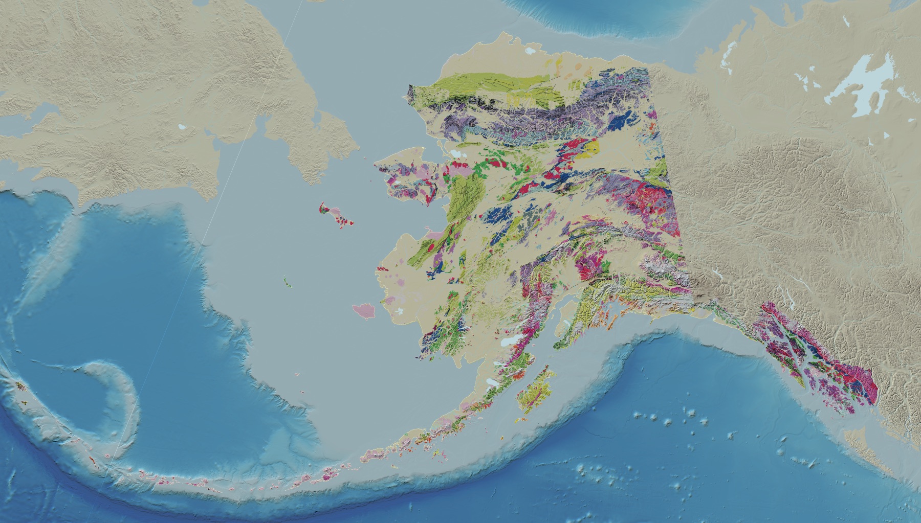
A famous alien landscape, seen from orbit
Star Trek’s famous alien rocks look like gray scratches from orbit
The sedimentary strata tilt at an average of about 50 degrees. From orbit, the same 25-million-year-old rocks nearly disappear into Southern California.
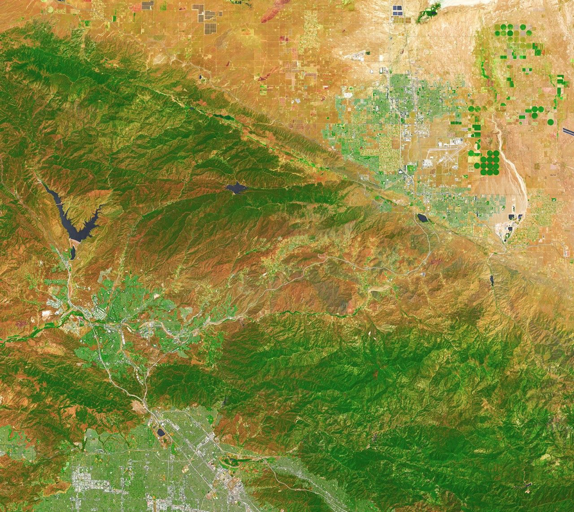
On the ground, Vasquez Rocks rises in tilted stone fins sharp enough to pass for another planet. From orbit, the famous landscape nearly vanishes. NASA’s newest view reduces it to a few curved gray stripes pressed between the hills north of Los Angeles.
From orbit, the rocks shrink to a few gray bands
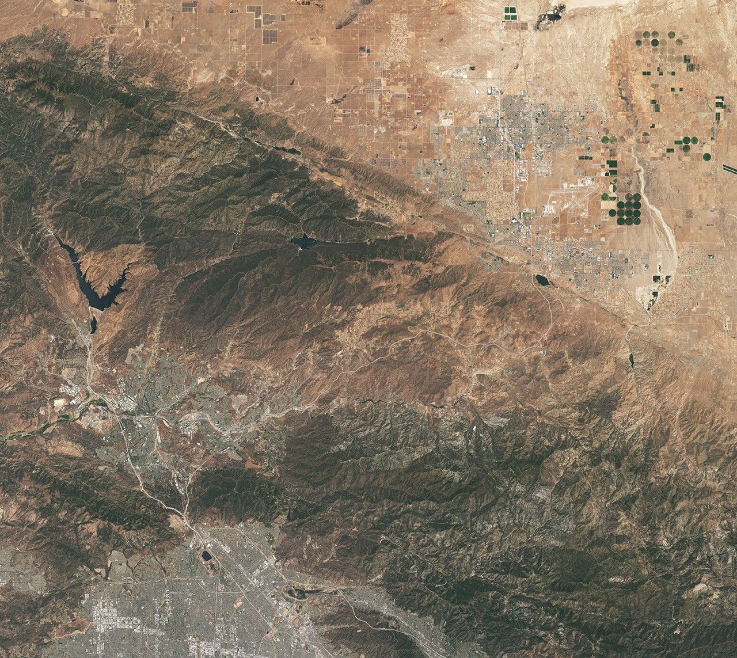
Landsat 9 acquired the scene on July 28, 2026, with its Operational Land Imager. Vasquez Rocks sits near the center, but formations that dominate a ground-level camera occupy only a narrow patch in the satellite view.
The hero image combines shortwave-infrared, near-infrared, and visible observations. Dark green marks the more heavily vegetated Sierra Pelona, rust-colored hills surround Agua Dulce, and Vasquez Rocks remains a few pale, curved bands. The false color changes which details stand out, not the location or shape of the rocks.
The set began as sediment about 25 million years ago
The fins did not begin upright. Sediment eroded from nearby uplands and spread across alluvial fans, the broad deposits formed when fast-moving streams reach flatter ground.
Burial and cementation turned those deposits into thick layers of sandstone and conglomerate. Tectonic forces later lifted and deformed the Soledad Basin, tilting, folding and rotating its sedimentary layers.
Once the layers reached the surface, weathering stripped away softer material and left the tougher sandstone and conglomerate standing as narrow ridges and fins. Millions of years later, those shapes became ready-made horizons for film and television.
A 50-degree tilt became television production design
Geologists estimate that the sedimentary strata in the area tilt by an average of about 50 degrees. That angle gives the formations their upward reach and the sharp silhouettes seen from the ground.
Star Trek began using the rocks during its first season. In “Arena,” Captain Kirk climbs across the terrain while fighting the reptilian Gorn. Later productions returned to the formations as other planets and as Vulcan.
NASA published the Landsat view on Star Trek’s 60th anniversary. The series first aired on September 8, 1966.
The park is more than a filming location
Los Angeles County describes the 945-acre park as the ancestral Tataviam village of Mapipinga, with protected native habitat and cultural history. The rocks may be a famous backdrop, but the place is not a set.
Sources and supporting documents
Rowan Price is a named OMG editorial voice, not a fictional human biography. This story passed separate evidence, rights, line-editing, originality, and skeptical-review checks before publication.
NASA Earth ObservatoryThe Otherworldly Geology of Vasquez RocksCounty of Los Angeles Department of Parks and RecreationVasquez Rocks Natural Area and Nature CenterNASA55 Years Ago: Star Trek Debuts, Begins an Enduring Relationship with NASAStarTrek.comCaptain Kirk vs. GornNASANASA Images and Media Usage Guidelines